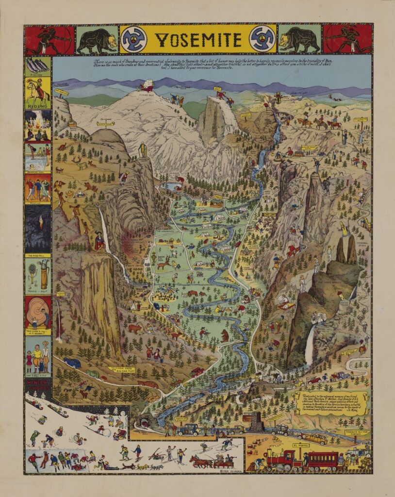
As you might guess from the name, the latest exhibition at the California Historical Society—Mapping a Changing California: Selections from the Seventeenth to the Twentieth Century (through March 11)—explores California’s growth and change over the years through maps. Along with a cartographical overview of the subject, the show traces three deep themes: real estate and gentrification, environmental changes, and the sunny California that’s advertised to tourists.
Often, shows at the CHS draw from its stellar photography collection, says Exhibitions Director, Erin Garcia. But it was her great good fortune to have the retired UC Berkeley map librarian, Phil Hoehn, as a volunteer at the historical society, cataloguing the map collection. With that on her radar, Garcia decided to do a show, asking Paige Laduzinsky, senior exhibit developer at the California Academy of Sciences, to be a guest curator.
“Paige came up with concept and the overview and the deep dives, and we all sort of refined them,” Garcia said. “We were interested in covering the whole state rather than just San Francisco and Los Angeles, so we were conscious to think about other places.”

Laduzinsky says she went through the map collection, noting the unique and rare, looking for the most interesting historically and visually, and seeing what themes emerged.
“There’s such a social history behind maps,” she said. “You can see the environmental change, and the racism and red lining, and then the third section is more fun, with amazing maps of Yosemite and a beautiful map of the wine country.”
The map exhibition doesn’t start with a map. Instead, it begins with a basket made by Indigenous Californians. “It was an intentional decision—maps themselves are byproduct of colonialism,” she said. “This is a different entry point, and placed near it we have a beautiful poem by Deborah Miranda from Indian Cartography.”
Because so many of their shows (including this one) cover the painful history of the state, Garcia is happy this show includes a different side as well, with, for example, maps of Disneyland and one of movie stars’ homes that she bought for this show.

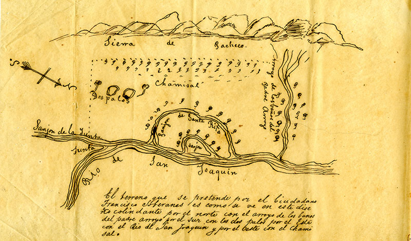
Garcia also loves a map from Merced County, Diseno del Sanjon de Santa Rita, ca. 1841.
Help us save local journalism!
Every tax-deductible donation helps us grow to cover the issues that mean the most to our community. Become a 48 Hills Hero and support the only daily progressive news source in the Bay Area.
“It’s a map of a land grant from the Rancho era that’s very descriptive and marks out a specific plot of land,” she said. “It’s hand drawn on vellum. The natural features, like the stream, are almost like a pictograph.”
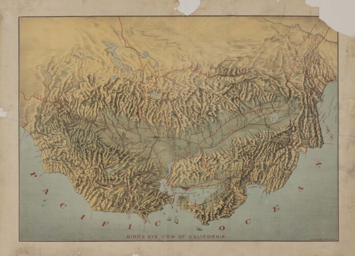
Laduzinsky loves that map, too. Other ones she mentions include the oldest map of California, depicting the state as an island, an eye-catching one highlighting the burned portion of San Francisco after the 1906 earthquake, and one with a bird’s-eye view of the state.
Other favorites include a submerged ghost town in Shasta County and of geologic surveys of the Sierras.
Both Laduzinsky and Garcia are particularly interested in a hand-painted map of Los Altos from 1908, showing lots going for $550 to $900.
“It’s looking at the transformation of land into parcels, which a lot of maps are about,” Garcia said. “So much of the California story is about that.”
MAPPING A CHANGING CALIFORNIA: SELECTIONS FROM THE SEVENTEENTH TO THE TWENTIETH CENTURY runs through March 11 at the California Historical Society, SF. More info here.


